
A new precinct · in planning
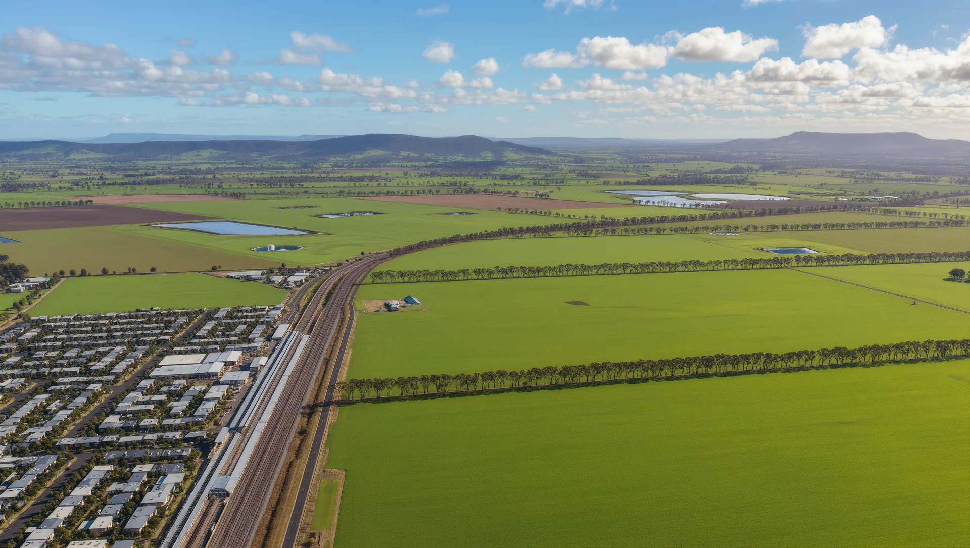
A new community taking shape in Wallan East.
Around ~1,100 envisioned new homes, a local town centre, schools and parklands — 45km north of Melbourne, alongside the established Wallan township and Seymour rail line.
Artist's impression — indicative only. All figures envisioned and subject to the final PSP.
~1,100 homes
Envisioned
Town centre
In the PSP
45km
to Melbourne CBD
7.4%
Est. annual growth
Explore the precinct
Everything you need to picture life here — in one place.


The plan
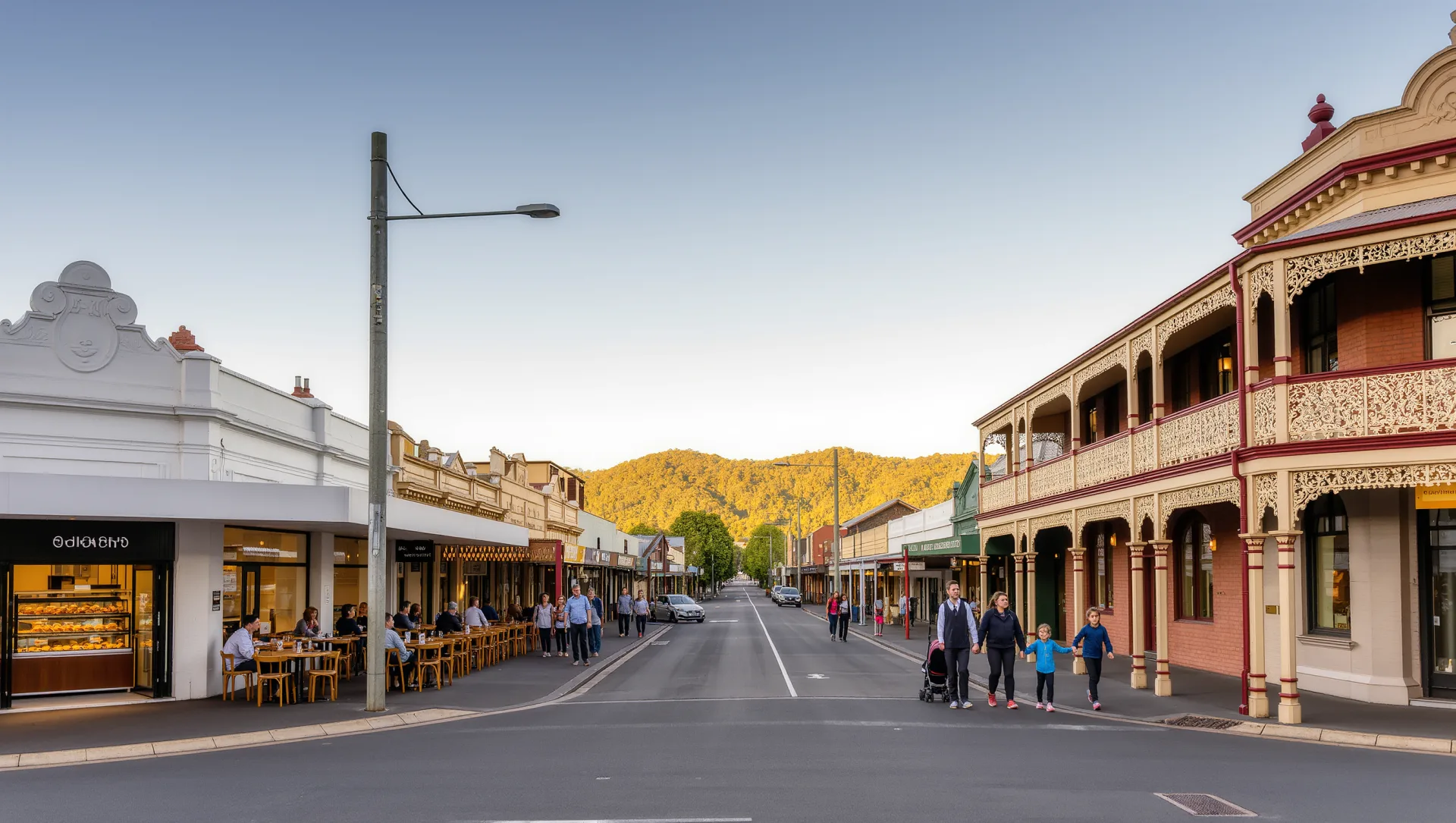
A township extension east of Wallan — in planning with the VPA.
Wallan East sits within the Shire of Mitchell, in the Victorian Planning Authority's PSP (Wallan East Pt 1). Co-design is complete. The project paused in October 2024 and is scheduled to recommence in Horizon 2 of the 10-year greenfields plan (2025/26–2028/29). Every figure on this page is envisioned and subject to the final PSP.
At a glance
- LGA
- Shire of Mitchell
- PSP
- PSP (Wallan East Pt 1)
- Dwelling capacity
- ~1,100 lots envisioned
- Future residents
- Subject to final PSP
- Distance to CBD
- 45km north
- Status
- In planning · Horizon 2